contourrs

contourrs converts NumPy rasters into polygons using a Rust core with Python bindings. The package has no GDAL dependency.
Install
Quick example
import numpy as np
from contourrs import shapes

raster = np.array([[1, 1, 2], [1, 2, 2], [3, 3, 3]], dtype=np.uint8)

for geojson, value in shapes(raster, connectivity=4):
    print(f"value={value}, type={geojson['type']}")
Raster operations
Use shapes() for categorical rasters such as segmentation masks and land-cover maps.
Use contours() for filled contour bands from elevation, probability, or other continuous fields.
Both functions return GeoJSON geometries; their _arrow variants return tables that can be written to GeoParquet.
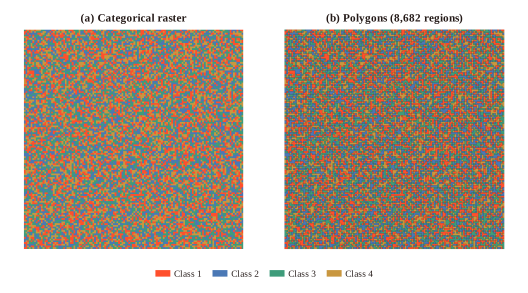
Polygonization preserves the pixel boundaries of this synthetic four-class raster. Colors identify classes, and thin outlines show the extracted regions.
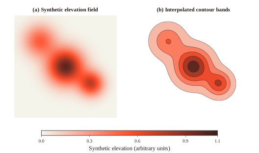
Marching squares interpolates band boundaries between raster samples. The synthetic field and bands share a value scale; white areas lie below the first threshold.
Real-world examples
Land cover
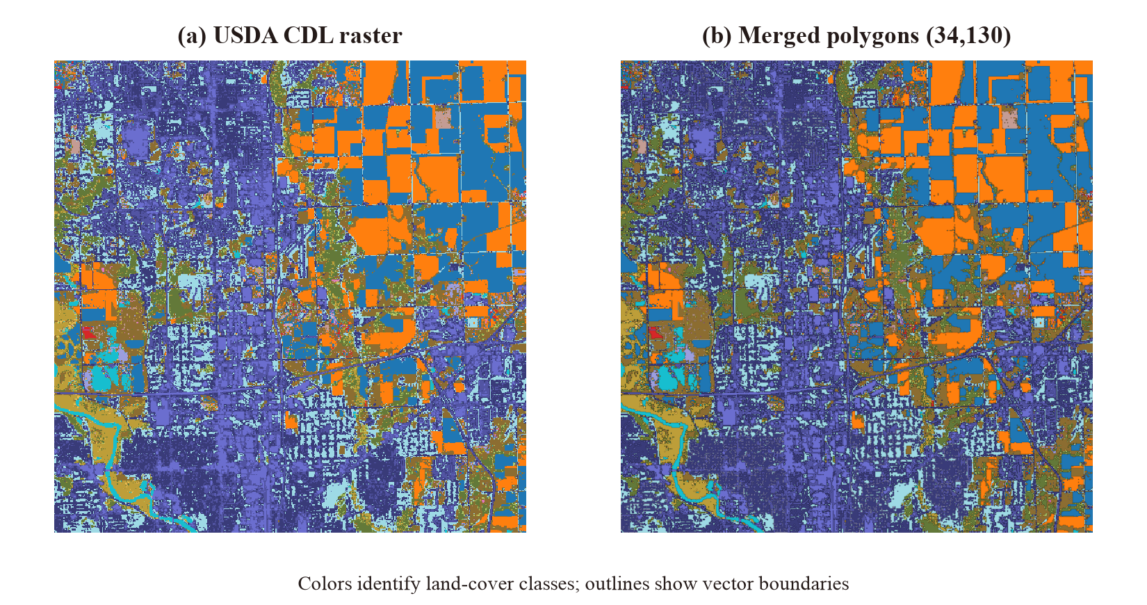
A 512x512 crop of the 2023 USDA CDL for Polk County, Iowa, polygonized in 128x128 tiles. Dissolving adjacent regions of the same class removes tile seams.
Elevation
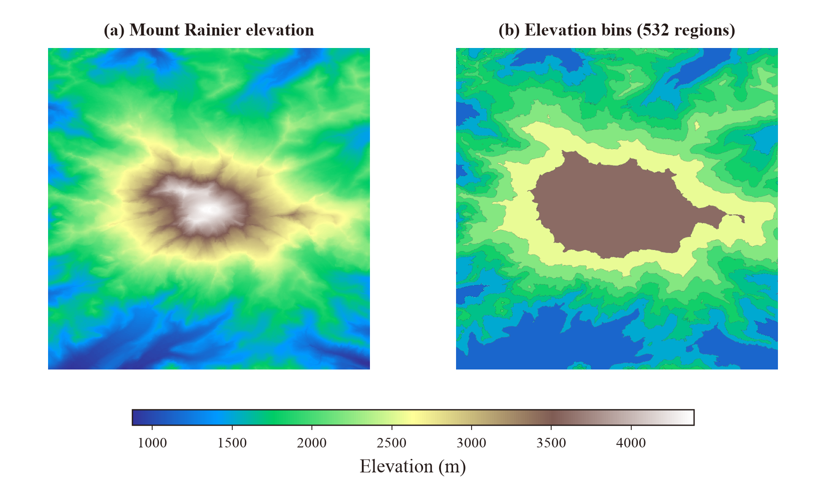
A 2048x2048 USGS 3DEP crop divided into eight quantile-based elevation bins. This example traces the binned pixel footprints; the DEM tutorial demonstrates interpolated contour bands.
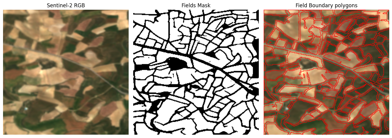
Field segmentation
Output and compatibility
- The Rust core requires no GDAL or other system libraries.
- Arrow output was 7.5x faster than rasterio on the historical CDL benchmark; see performance for the setup.
- Arrow tables cross the Rust–Python boundary through the Arrow C Data Interface without copying their buffers.
shapes_arrow()keeps Python-managed allocation near zero in the historicaltracemallocbenchmark, but native and total process memory are higher.shapes()resemblesrasterio.features.shapesfor NumPy arrays, but returns an eager list rather than an iterator.- Marching squares interpolates contour-band boundaries between raster samples.
- Accepted dtypes are uint8/16/32, int16/32, and float32/64.
Acknowledgments
Isaac Corley developed the Rust core, Python bindings, and packaging with Claude as an AI pair-programmer and reviewed the resulting code.
License
Apache-2.0